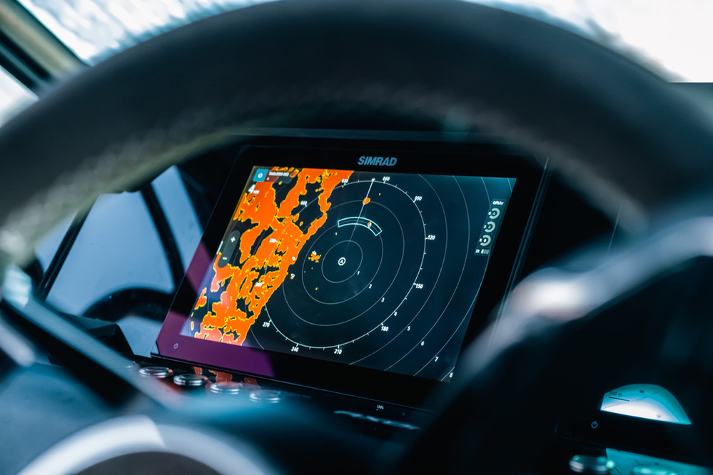
You can also make user-created and sharable charts using C-MAP Genesis® to ensure repeatability of getting back to fruitful fishing grounds.
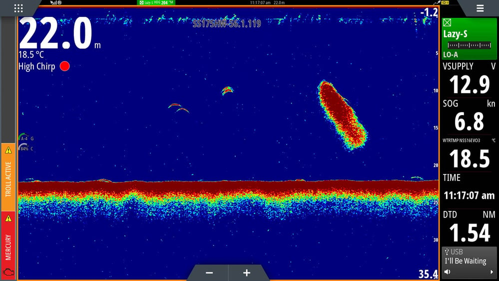
Combine that with ultra-detailed real-time imagery through advanced Simrad® depth and fish-finding technologies to create the basis of a successful day's fishing. Check out our article on Understanding Sonar to learn more.
An additional aid to finding fish is the SiriusXM WM-4 weather module which is an excellent aid to assist with fish mapping and have an easier time targeting specific fish species.
Fish Mapping is Sirium XM Marine’s most comprehensive package that delivers fishing data and weather service to your boat’s display.
It defines specific locations with the highest likelihood of finding the fish you are seeking to target, providing regularly updated, science-based data to help you locate fish faster – saving time and fuel.
This service includes all of SiriusXM Marine's weather data, plus 8 dedicated features for offshore anglers some examples being:
- Fishing Recommendations - Locations where oceanographers recommend the ideal conditions for finding specific types of game fish. The recommended areas can be overlaid on your chart and viewed in combination with any of the other Fish Mapping features.
- Weed Lines - Updated every 24 hours, Weed Lines allows you to view concentrations of floating algae and plants. These provide nutrients and cover, creating habits for bait fish such as shrimp which attract larger, predatory fish. Weed Lines drift and shift over time, so the regular updates locate their current position.
- Sea Surface Temperature Contours - This feature highlights sea surface temperatures as contour lines to quickly illustrate water temperatures in your area and help locate target species based on their preferred temperature range.
Check out Sirius Communications for more details.

