
"https://www.simrad-yachting.com/assets/img/default-product-img.png?w=400&h=225&scale=both&mode=max"

NSS16 evo3 with C-MAP® US Enhanced Charts
SKU: 000-13236-001
000-13236-001
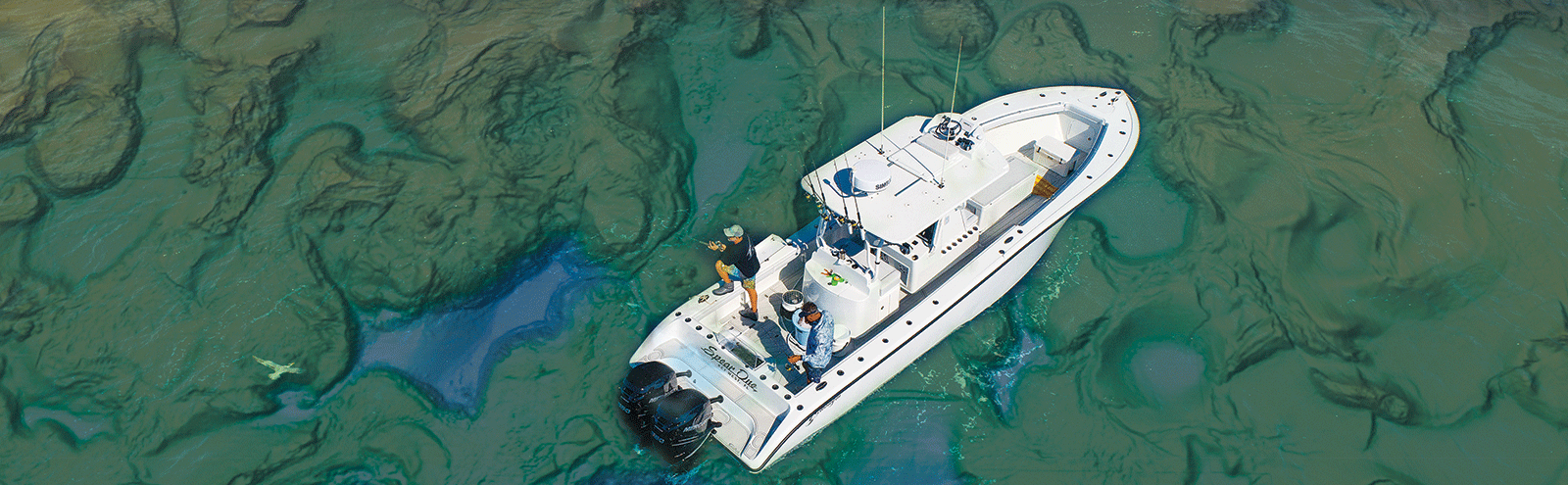
This high-definition 16-inch display delivers a big-picture view of high-detail, C-MAP US Enhanced inland and coastal charts, Radar, Active Imaging Sonar, and more. Perfect for larger powerboats and sportfishing center consoles, NSS evo3 has integrated wireless connectivity and an HDMI out, allowing you to mirror your display to your smartphone, tablet, or an on-board TV.
DISCONTINUED
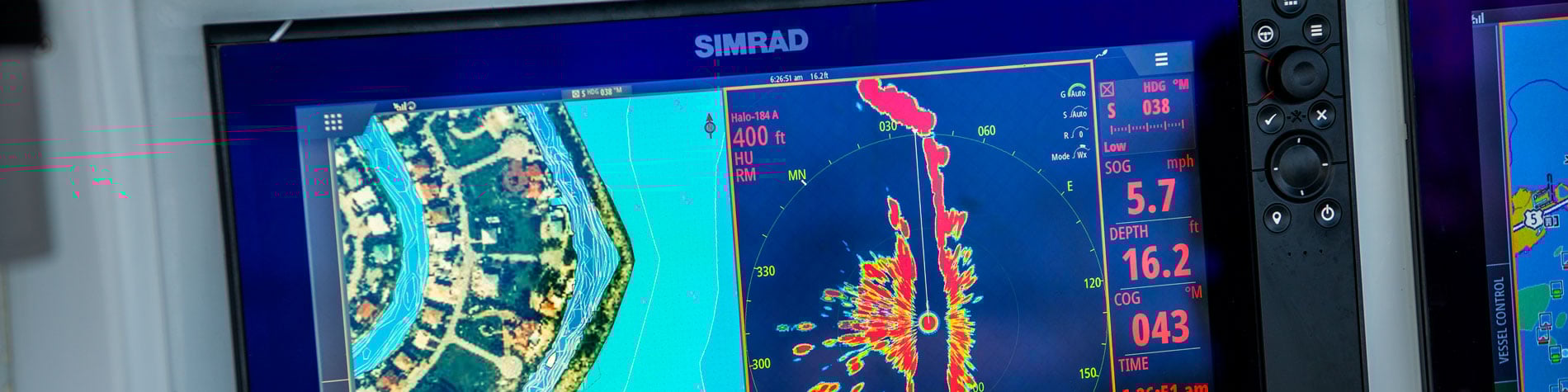
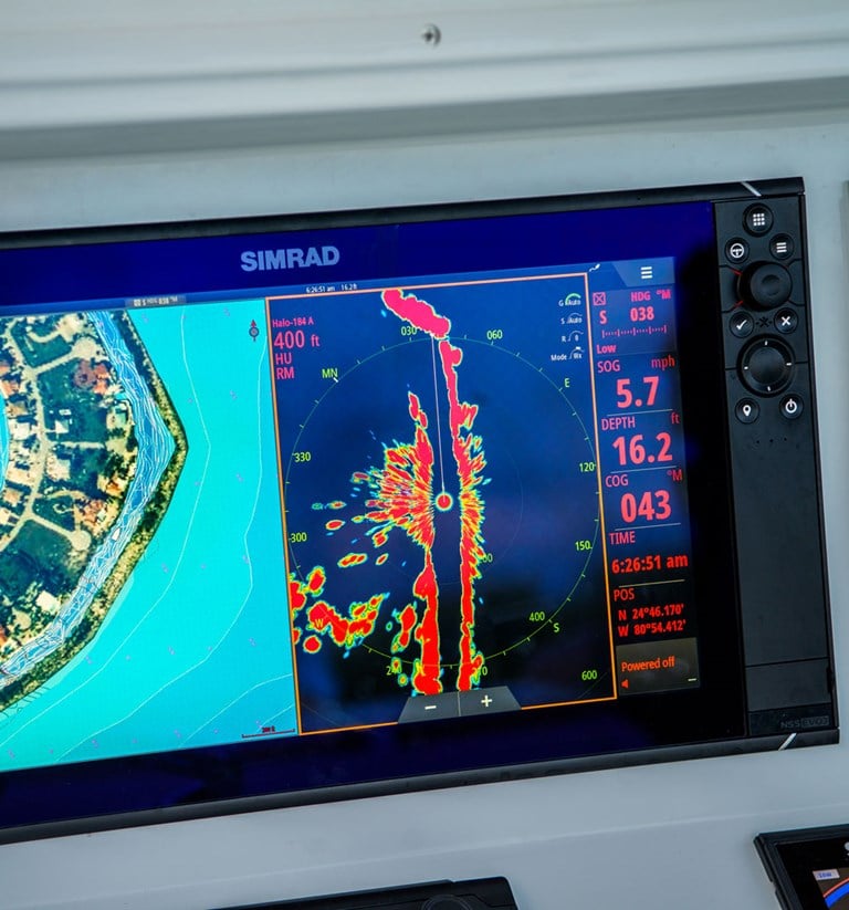
Navigate expertly
Whether you are cruising or searching for key fishing areas, the preloaded C-MAP US Enhanced chart in NSS evo3 will get you there with precision. The high-detail, built-in chart makes navigation easy with 1-foot contours on nearly 4,000 lakes, plus the C-MAP coastal charts boaters have relied on for years.
Make the most of your boat
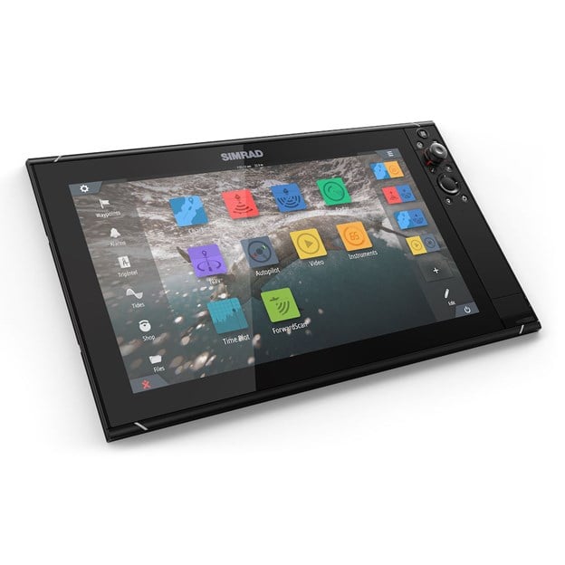
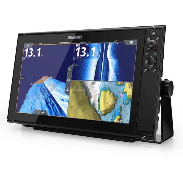
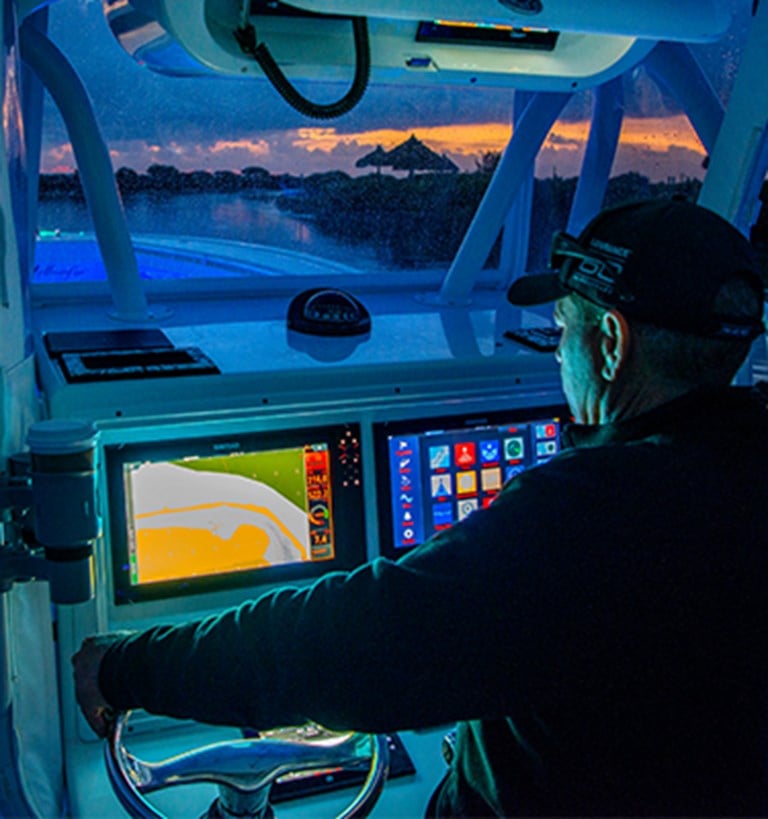
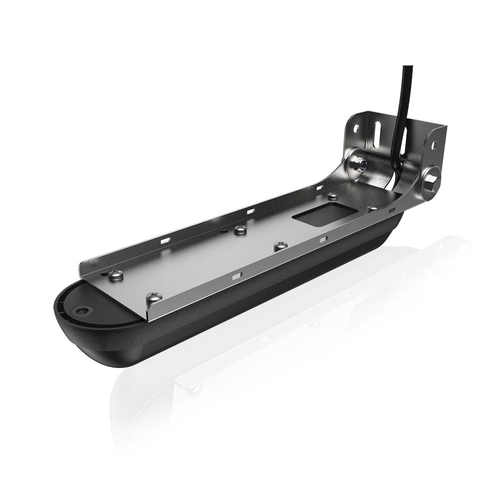
Navigate, find fish, and take total control of your on-water experience with NSS evo3. SolarMAX™ IPS displays offer exceptional clarity and ultra-wide viewing angles, even in direct sunlight, while an intuitive all-weather touchscreen and a keypad with rotary dial offer total control in any conditions. Built-in echosounder support lets you cruise confidently with ForwardScan sonar, or reveal the ultimate fishing spots with Active Imaging 3-in-1 with CHIRP, SideScan and DownScan Imaging™. Register your chartplotter, get faster technical support, download software updates and connect NSS evo3 to your smartphone or tablet with integrated wireless connectivity.
Touchscreen plus keypad for intuitive and reliable control
NSS evo3 displays let you take control your way. Switch seamlessly between intuitive touchscreen control with multi-touch gestures, perfect for cruising on a flat day, and a built-in keypad with rotary control dial for fishing and boating adventures. Control every display function by either touch or keypad, giving you total flexibility to use whatever controls best suit the situation.


Chartplotter with built-in GPS makes navigation easy
Every NSS evo3 display is a full-featured chartplotter navigation display with a built-in GPS receiver that eliminates the need for an external antenna on many boats. Choose from a wide range of charts to find the best coverage for your favorite boating locations, anywhere in the world. Make plotting a route to your destination as simple as in-car navigation with C-MAP Easy Routing.

SolarMAX™ IPS displays ensure clear views in any conditions
Get a clear view under any lighting conditions with SolarMAX™ IPS technology, which keeps everything in view with ultra-wide viewing angles – visible even through polarized sunglasses. These all-weather screens have been engineered to withstand the heat of the summer sun, and are optically bonded to prevent condensation or fogging within the display. It’s easy to monitor and control all of your on-board electronics with simple menus and customizable split-screen layouts.
Simple networking connects you to a wide range of accessories
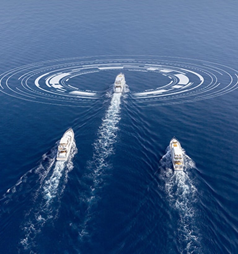
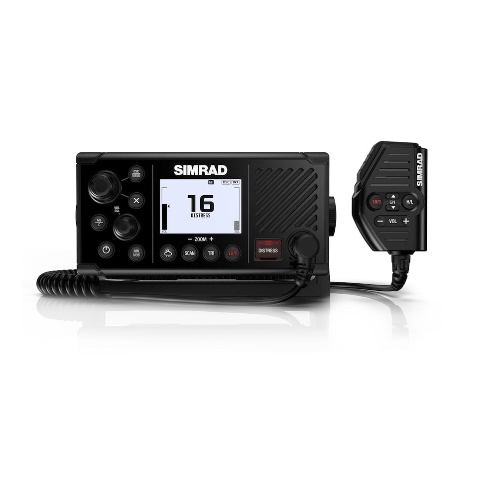
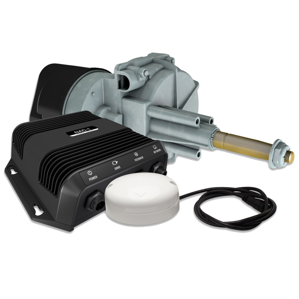
Industry-standard connectivity makes it easy to create multi-display systems and link your displays to all of your on-board electronics. Monitor your boat’s engines and fuel efficiency, control your on-board sound system, and much more. Expand your system with Simrad modules and accessories: fish smarter with game-changing StructureScan® 3D imaging, see further with legendary Halo™ Pulse Compression radar, and free your hands from the wheel with a fully integrated Simrad autopilot.

Wireless connectivity to your smartphone or tablet
Mirror your display to compatible iOS and Android devices, and enjoy access to charts, radar, sonar, engine data, and more from anywhere on board. Check charts and weather radar to plot your next move from the saloon, or keep your fish-finding sonar display beside you while you cast your line. Wireless connectivity also enables easy online software upgrades through any internet hotspot, giving you access to the latest features and accessory support.

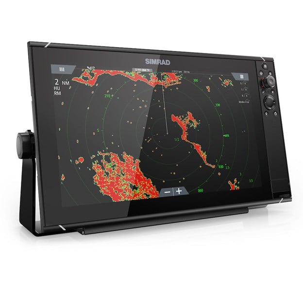
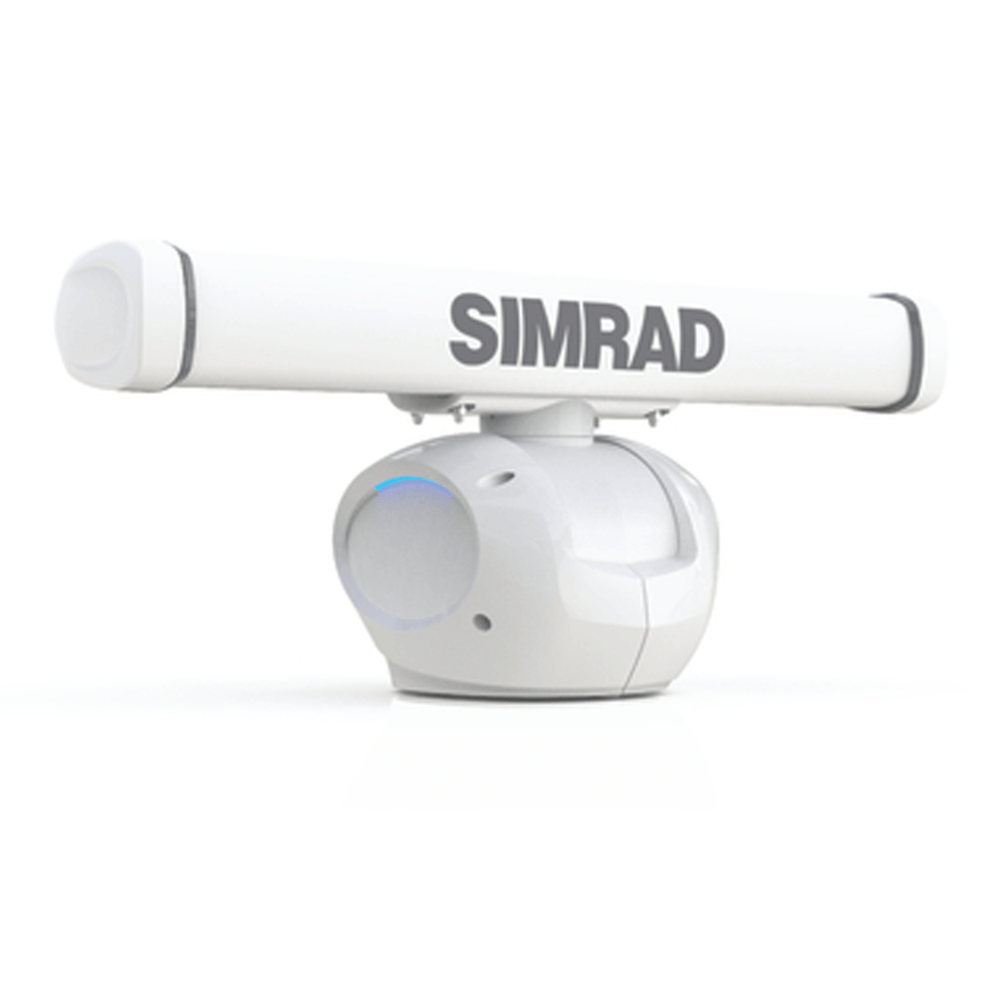
HALO Radar for greater situational awareness
Bring radar capabilities to your boat with this compact and easy-to-install dome radar system. The HALO Radar dome series detects targets from right off the bow and up to 48 nautical miles away. Use HALO to cruise confidently through crowded harbors, navigate safely in poor visibility, and keep an eye on distant storm cells. Our HALO24 and HALO20+ Radar offer an almost real-time view with industry-first 60 RPM operation at close range.

Key Features
- SolarMAX IPS display with extreme viewing angles; viewable through polarized sunglasses
- Preloaded, high-detail C-MAP US Enhanced inland and coastal charts
- Full operation via touchscreen or keypad controls
- Touchscreen control of sonar, radar, autopilot and accessories
- Industry-standard connectivity to engines, sound systems and more
- Automatic routing support, plus easy trip planning with TripIntel
- Flexible installation with low-profile flush mount or bracket mount options
Related Items


-
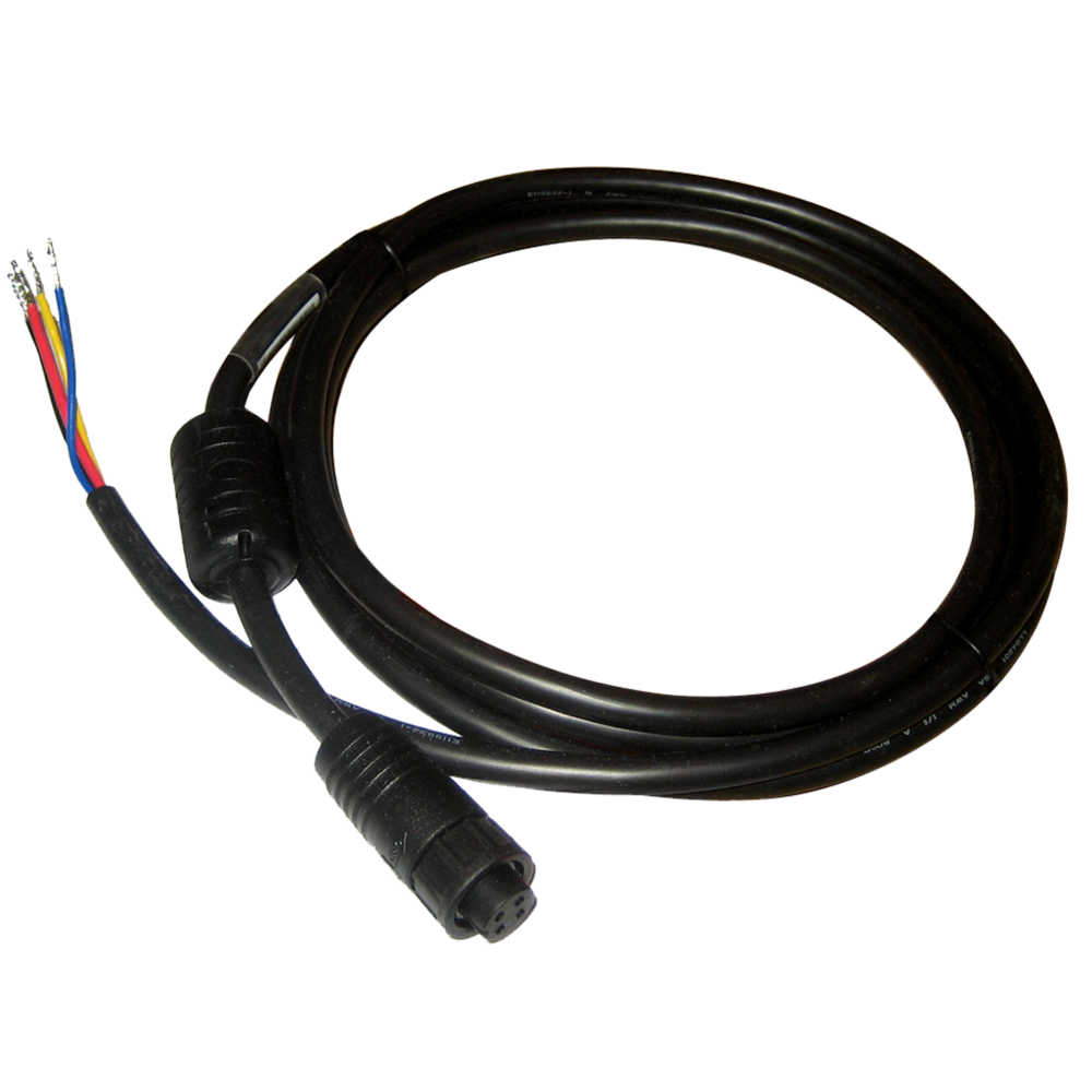
 Power Cable, 4-Pin
-
 NSS16 evo3/3S Sun Cover
- NSS16 evo3 / Zeus³ 16 Mounting Bracket
-
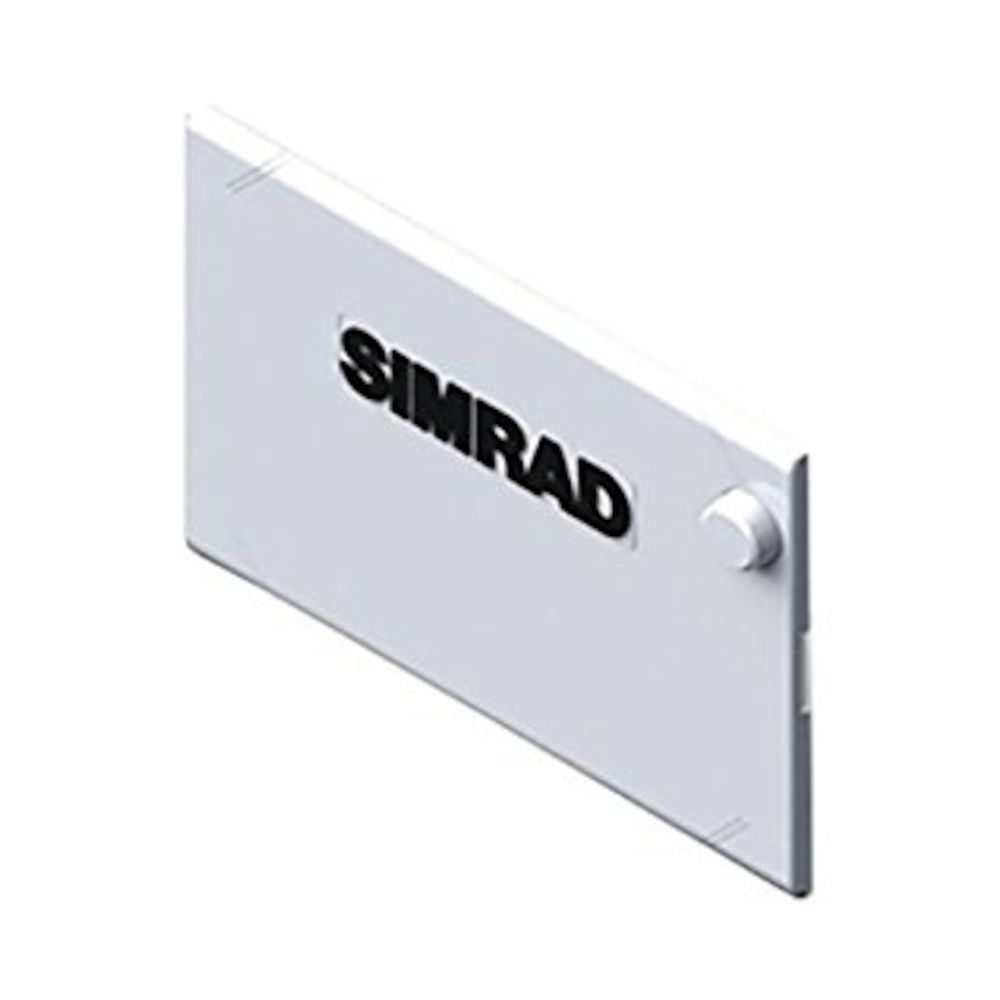
 NSS16 evo3/3S & Zeus³/3S 16 Edge Bezels
-
 NSS16 evo3/3S & Zeus³/3S 16 Dash Mount Kit
Specifications
- Display
- Backlight Color
- White
- Display Resolution
- 1920 x 1080
- Display Size
- 16 inches
- Viewing Angles
- 80° top/bottom, 80° left/right
- Physical
- Dimensions W x H x D
- 437 x 256 x 98 mm (117.19 x 10.08 x 3.82")with bracket: 462 x 264 x 122 (18.19 x 10.39 x 4.80")
- Mounting Type
- Bracket (Supplied) or panel mount
- Weight
- 4.65 kg (10.25lbs.)
- Electrical
- Power Consumption max
- 45 W
- Recommended Fuse Rating
- 5A
- Supply Voltage
- 10 - 31.2 V DC
- Environment
- Operating Temperature Range
- -15°C to +55°C (5° F to 131° F)
- Storage Temperature Range
- -20°C to +60°C (4°F to 140°F)
- Waterproofrating
- IPX6 and 7
- Connectivity
- Bluetooth
- Internal
- Ethernet Ports
- 2 x 5 pin yellow connector x 10/100 Mbit
- Connectivity Wi Fi
- Internal
- N2K PG Ns
- Receive only59392 ISO Acknowledgement59904 ISO Request60160 ISO Transport Protocol, Data Transfer60416 ISO Transport Protocol, Connection M.65240 ISO Commanded Address60928 ISO Address Claim126208 ISO Command Group Function126992 System Time126996 Product Info126998 Configuration Information127233 Man Overboard Notification (MOB)127237 Heading/Track Control127245 Rudder127250 Vessel Heading127251 Rate of Turn127252 Heave127257 Attitude127258 Magnetic Variation127488 Engine Parameters, Rapid Update127489 Engine Parameters, Dynamic127493 Transmission Parameters, Dynamic127500 Load Controller Connection State / Control127501 Binary Status Report127503 AC input status127504 AC Output Status127505 Fluid Level127506 DC Detailed Status127507 Charger Status127508 Battery Status127509 Inverter Status128259 Speed, Water referenced128267 Water Depth128275 Distance Log129025 Position, Rapid Update129026 COG & SOG, Rapid Update129029 GNSS Position Data129033 Time & Date129038 AIS Class A Position Report129039 AIS Class B Position Report129040 AIS Class B Extended Position Report129041 AIS aids to Navigation129283 Cross Track Error129284 Navigation Data129539 GNSS DOPs129540 AIS Class B Extended Position Report129545 GNSS RAIM Output129549 DGNSS Corrections129551 GNSS Differential Correction Receiver Signal129793 AIS UTC and Date Report129794 AIS aids to Navigation129798 AIS SAR Aircraft Position Report129801 Cross Track Error129802 AIS Safety Related Broadcast Message129283 Cross Track Error129284 Navigation Data129539 GNSS DOPs129540 GNSS Sats in View129794 AIS Class A Static and Voyage Related Data129801 AIS Addressed Safety Related Message129802 AIS Safety Related Broadcast Message129808 DSC Call Information129809 AIS Class B “CS” Static Data Report, Part A129810 AIS Class B “CS” Static Data Report, Part B130060 Label130074 Route and WP Service - WP List - WP Name & Position130306 Wind Data130310 Environmental Parameters130311 Environmental Parameters130312 Temperature130313 Humidity130314 Actual Pressure130316 Temperature, Extended Range130569 Entertainment - Current File and Status130570 Entertainment - Library Data File130571 Entertainment - Library Data Group130572 Entertainment - Library Data Search130573 Entertainment - Supported Source Data130574 Entertainment - Supported Zone Data130576 Small Craft Status130577 Direction Data130578 Vessel Speed Components130579 Entertainment - System Configuration Status130580 Entertainment - System Configuration Status130581 Entertainment - Zone Configuration Status130582 Entertainment - Zone Volume Status130583 Entertainment - Available Audio EQ Presets130584 Entertainment - Bluetooth Devices130585 Entertainment - Bluetooth Source StatusTransmit60160 ISO Transport Protocol, Data Transfer60416 ISO Transport Protocol, Connection M.126208 ISO Command Group Function126992 System Time126993 Heartbeat126996 Product Info127237 Heading/Track Control127250 Vessel Heading127258 Magnetic Variation127502 Switch Bank Control128259 Speed, Water referenced128267 Water Depth128275 Distance Log129025 Position, Rapid Update129026 COG & SOG, Rapid Update129029 GNSS Position Data129283 Cross Track Error129285 Navigation - Route/WP Information129284 Navigation Data129285 Route/Waypoint Data129539 GNSS DOPs129540 GNSS Sats in View130074 Route and WP Service - WP List - WP Name & Position130306 Wind Data130310 Environmental Parameters130311 Environmental Parameters130312 Temperature130577 Direction Data130578 Vessel Speed Components
- NMEA 0183 Sentences supported
- Input: GGA, GLL, GSA, GSV, VTG, ZDA, RMC, DBT, DPT, MTW, VLW, VHW, HDG, HDT, HDM, MWV, MWD, DSC, DSE, VDM. (Note AIS sentences are not bridged to or from NMEA 2000)Output: GGA, GLL, GSA, GSV, VTG, ZDA, RMC, DBT, DPT, MTW, VLW, VHW, HDG, MWV, MWD, TLL, TTM
- NMEA 2000 Connectivity
- 1 x NMEA 2000 Micro-C port, 1 LEN
- PC Connectivity
- No
- SD Card Storage
- 2 Micro SD slots, max. 32GB each. Larger if formatted to NTFS
- Video
- 2 x composite (RCA connectors)video inputs. Optional video/ data cable required (P/N 000-00129-001). HDMI output
- MFD
- AIS
- Receive AIS data over NMEA 2000 or *NMEA 0183 (*NMEA 0183 has to be wired to all NSS processors)
- Autopilot
- Full auto pilot control and commissioning
- Cartography included
- C-MAP
- Digital Switching
- C-Zone, Naviop
- GPS
- Internal
- Internal Storage
- 16 GB
- Multimedia
- via SonicHub2, FusionLink, *Sirius, **JL Audio. *USA only, **AUST. & NZ only)
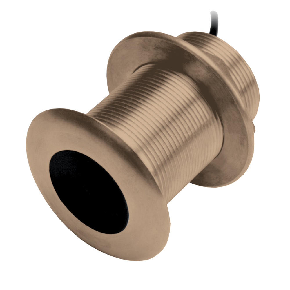
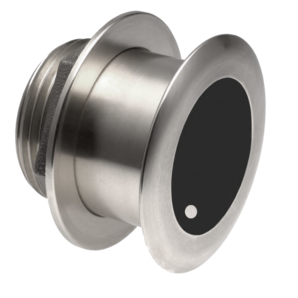
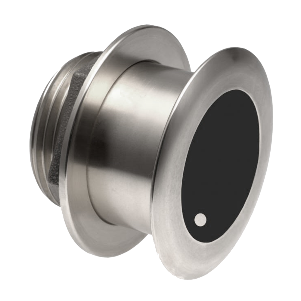
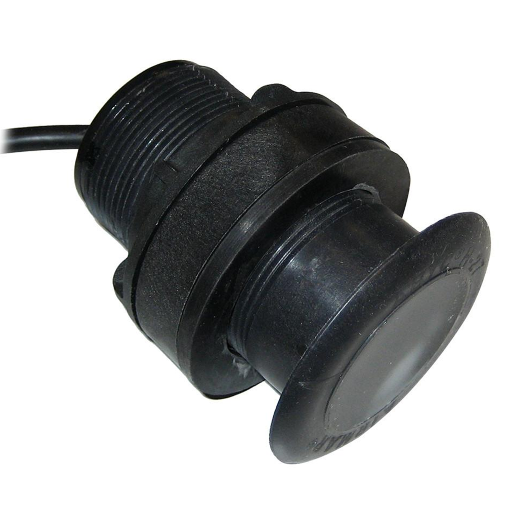
- Sonar Compatibility
- Two 9 pin Xsonic Sonar ports. Sonar port 1: Single channel CHIRP, 50/200 kHz, HDI. Sonar port 2: Single channel CHIRP, 50/200 kHz, Active Imaging, TotalScan, LSS HD, ForwardScan. Compatible with: S5100, SonarHub, BSM-3, BSM-2, network echo sounders
- Waypoints, Routes, Tracks
- 6000 waypoints, 500 Routes with 100 max route points, 50 tracks with up to 12,000 track points.
- Weather
- SiriusXM via WM-4 / WM-3 (USA only), GRIB
- GPS
- Correction
- WASS, MSAS, EGNOS, GLONASS
- GPS Receiver Channels
- 34 Channels
- Position Accuracy
- Horizontal Accuracy 3 m (9.8 ft)
- Time to First Fix
- Cold start 50 sec, Satellite Reacquisition 5 sec
- Update rate
- 10 Hz
- Autopilot
- Manouevres Turn Patterns
- U-turn, Spiral-turn, C-turn, Zig-zag, Square-turn, Lazy S-turn, Depth contour tracking
- Steering Modes
- Auto, Nav., No Drift, Follow up, Non-follow up, Turn patterns, Standby, *Wind, *Wind NAV. (*Boat type set to Sail)
- Approvals
- Approvals Compliance
- CE, C-Tick, HDMI, EN 60950-1:2006, EN 60945:2002 EN 300 440-2, V1.4.2
- Other
- Interface
- Full touch screen (multi-touch ) and full keypad control, OP50 remote controllers, USB Mouse
- Languages
- Standard Language Pack: English(US), English(UK), Danish, German, Spanish, Finnish, French, Greek, Icelandic, Italian, Dutch, Norwegian, Portuguese, SwedishOther languages supported by Unlock:Japanese, Korean, Thai, Chinese, Bulgarian, Hebrew, Croatian, Hungarian, Lithuanian, Latvian, Polish, Slovak, Turkish, Russian, Ukrainian, Arabic, Farsi
- Warranty Period
- 2 Years


